A prototype of mobile application for geographical data crowdsourcing in urban environments
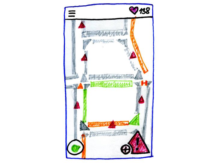
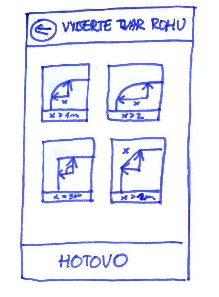
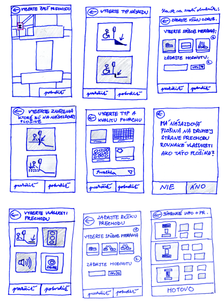
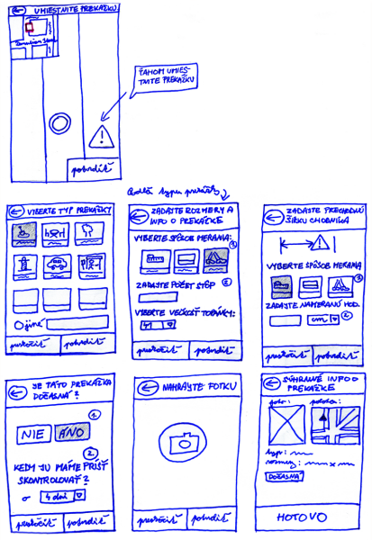
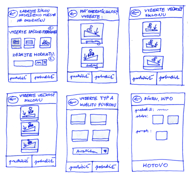
To create reliable navigation system is a complex task but creating one for people impaired in mobility brings even more challenges. People impaired in mobility have much higher requirements regarding information about accessibility. Detailed knowledge about the presence of existing landmarks, obstacles and properties of pavement segments are needed. Usage of professionally created sidewalk-based geodatabase is a solution, however, the professional geographical onsite reconnaissance is highly time and cost demanding. One of the proposal is to achieve this data mining by geo-crowdsourcing approach as an alternative to professional reconnaissance. In this thesis, we report on results of the research focused on designing the user interface of mobile application for collecting accessibility attributes by non-expert crowd which will reduce time and cost of the professional data collection. The research results suggest the feasibility of this approach when the users are provided with a proper guidance, i.e., detailed instructions and illustrative images, use suggested measuring techniques, and their effort is supported and rewarded by gamified layer.
