Multiplatform applications in advanced reality for Earth satellite visualization
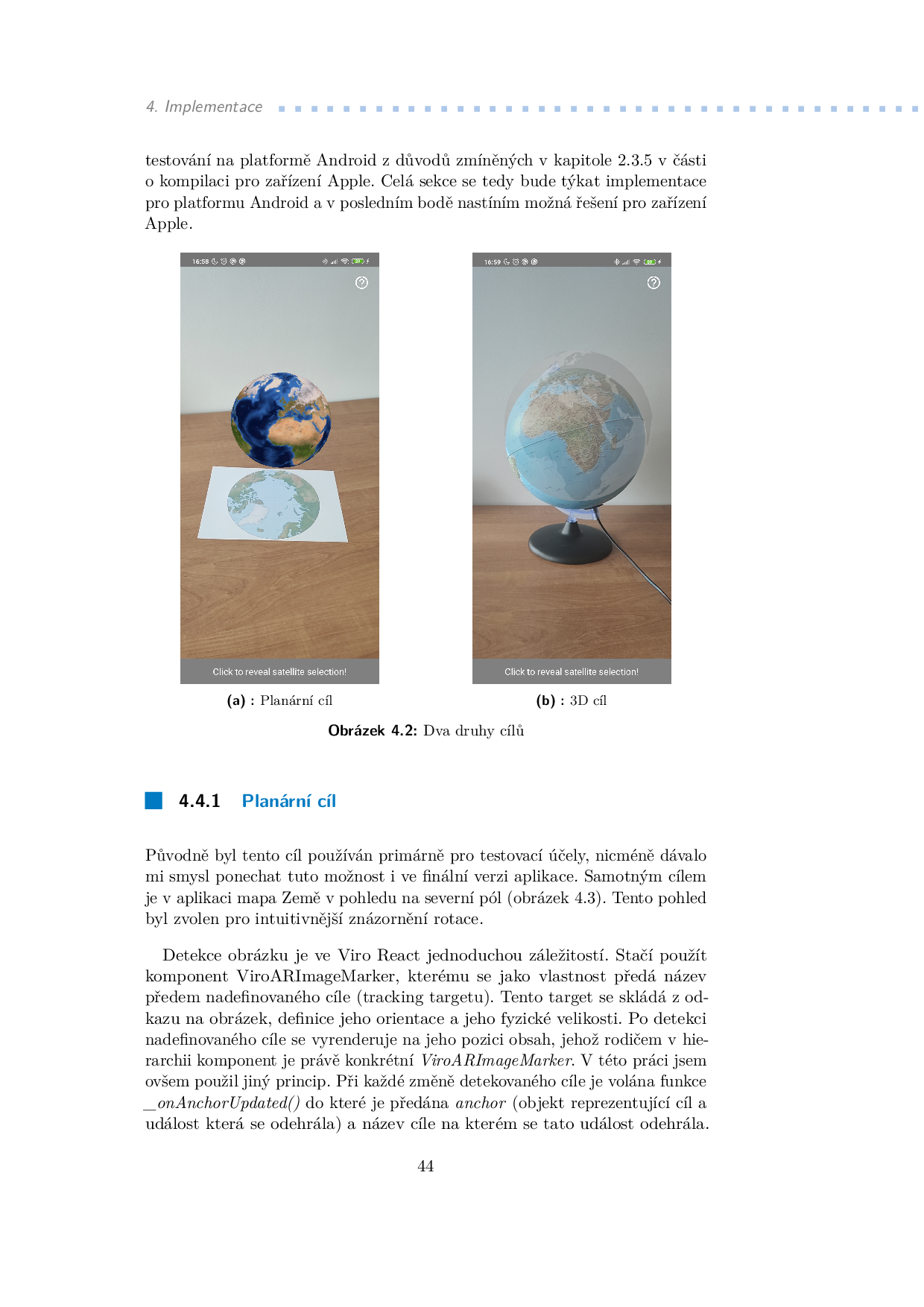
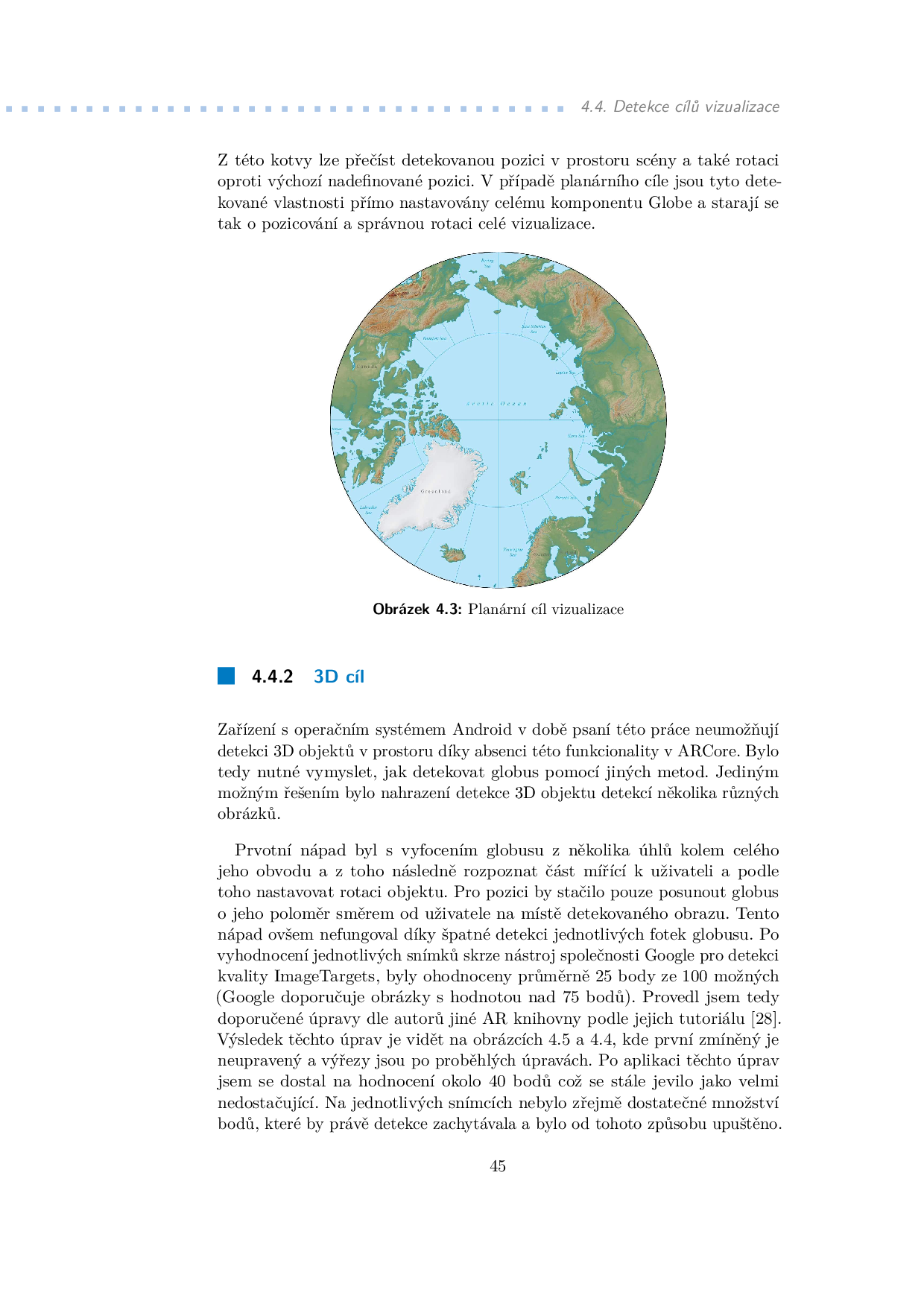
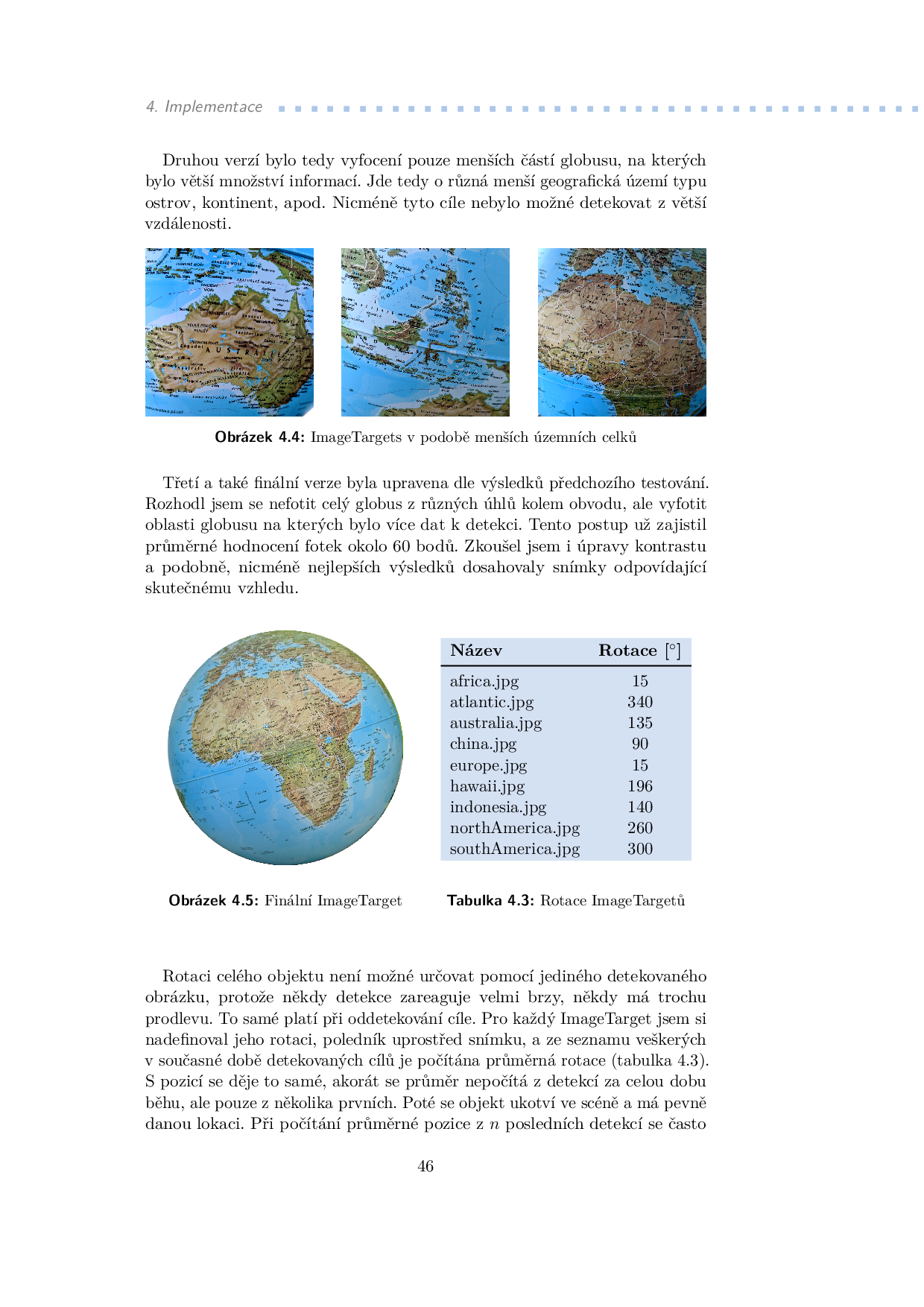
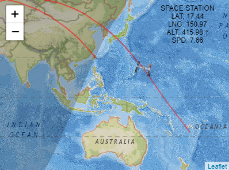
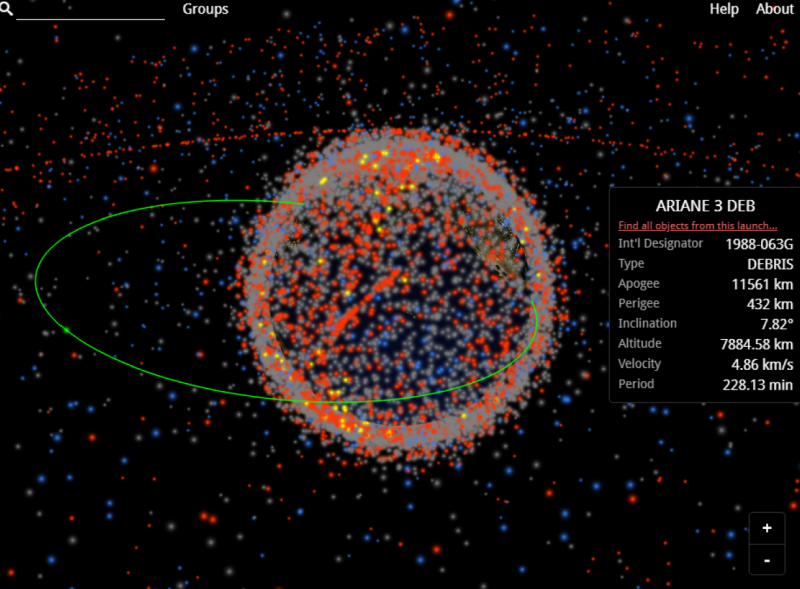
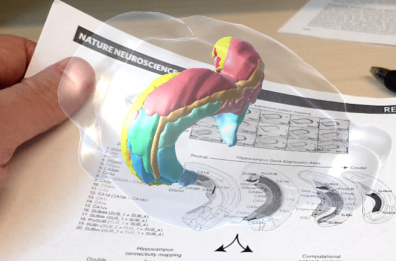
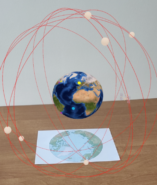
This thesis deals with the development of a multiplatform mobile application visualizing the positions of Earth satellites and GPS ground segment using augmented reality. The thesis aims to acquaint the reader with the possibilities of multiplatform mobile development, frameworks for the augmented reality application development, and with the data and processes needed to calculate satellite positions. Based on the analysis of these parts, an application was developed to enable the mentioned visualization. The application was then tested with users and modified accordingly based on user feedback.
