Augmented reality in city
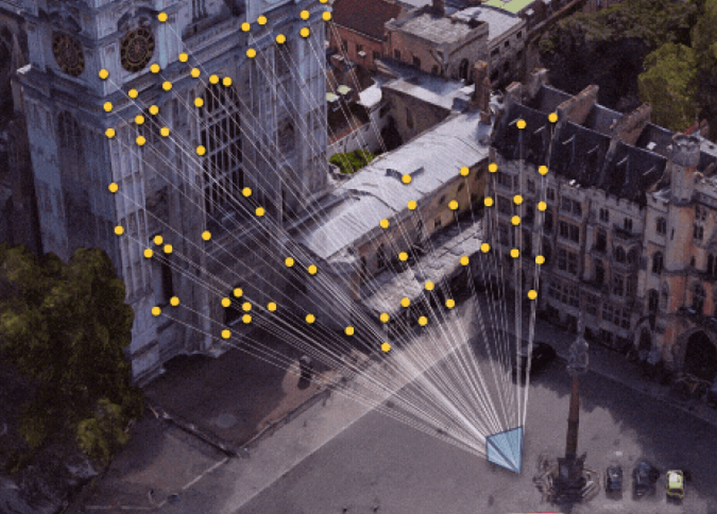
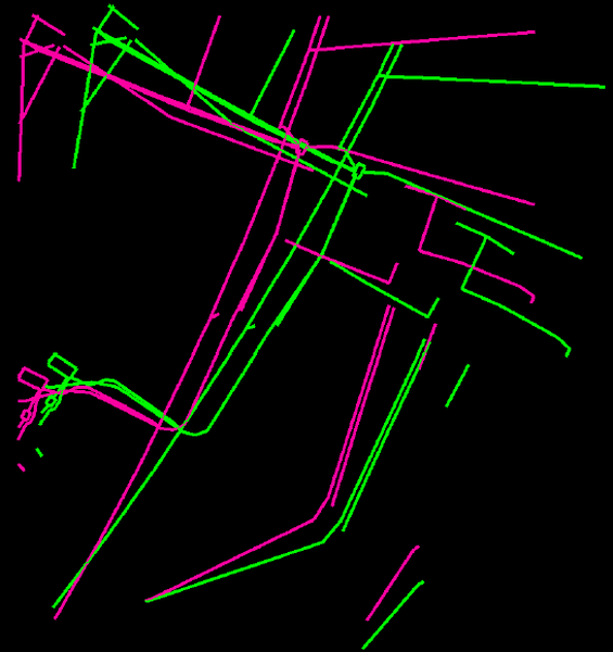
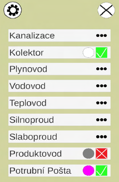
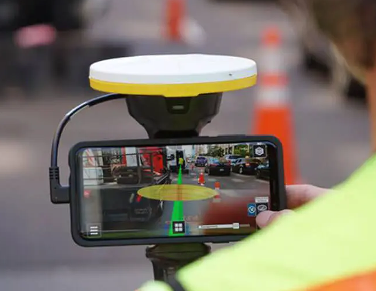
In recent years, augmented reality (AR) has seen remarkable growth, bolstered by advances in geospatial technology. This thesis presents a novel application that leverages the Geospatial API, launched in May 2022, to visualize underground utility lines in the streets of Prague. The data, provided by the Prague Institute of Planning and Development, serve as the basis for the AR application. Initial research focuses on understanding the data set and exploring AR technologies for effective visualization. The subsequent design phase details the intended features and appearance of the application. This is followed by a discussion of the step-by-step implementation process. Finally, the thesis evaluates the application performance, limitations and user testing, providing insight into the capabilities of the API.
Samples
Images